Drone Flying
November 9, 2017 at 6:07 pm,
1 comment
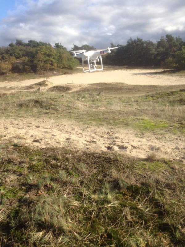
We thought we
might be able to map up a section of the area in the first visit, however we
realized that it made more sense to just fly the drone for the planning stage
and then regroup and see how we were going to run the different missions later
on.
1 comment - Drone Flying
Maurits Dorlandt - November 10, 2017 at 5:16 pm
What a super cool project! Can you indicate which part of the dunes you will be able to map? I might have some more info for you to make this GIS layer! Can I share this on my feestbook? Best Maurits